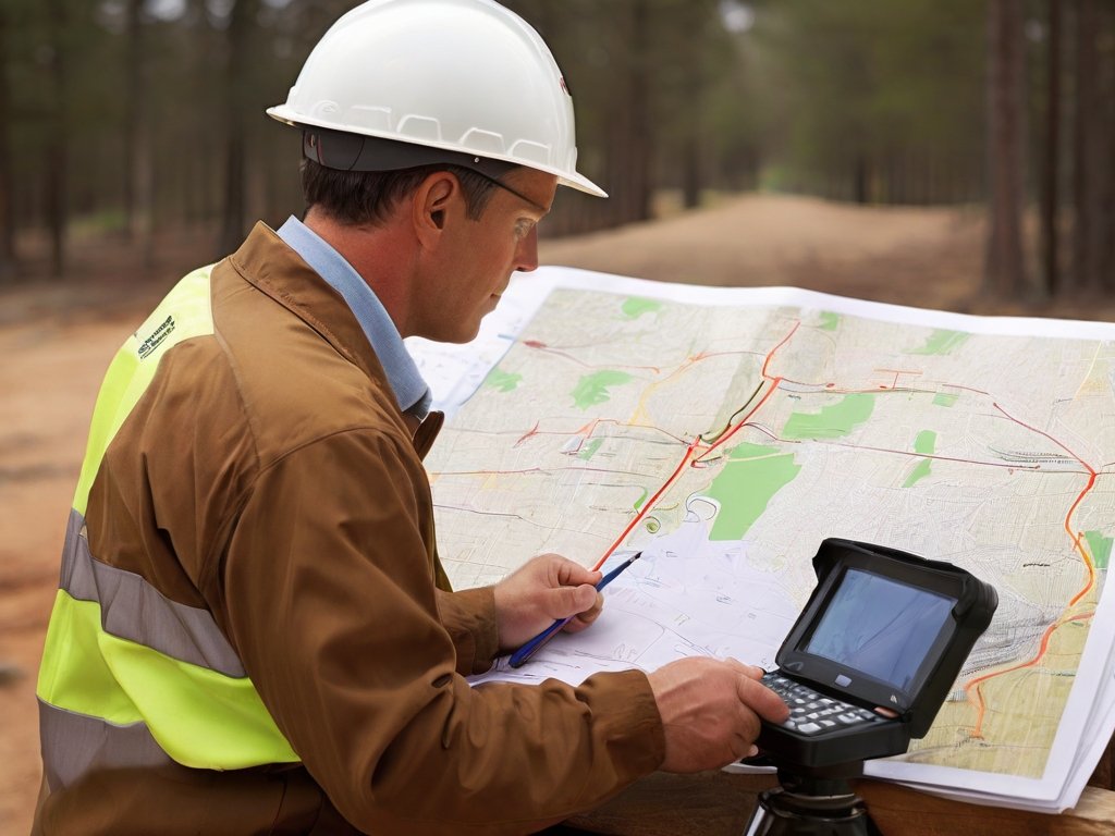
Make your Land Survey more valuable with GIS
When it comes to measurements, plot allocation, and identification of land, positioning, and volume of work, land surveying adds value to your work for all projects, whether civil infrastructure, industrial, or urban development projects.
The role of land surveying in people’s lives is essential and undeniable. It is vital and necessary in every construction project; however, it can be a difficult and time-consuming task. Over the centuries, due to the development of technology, land surveying methods have also grown significantly. One of these technologies that has greatly helped land surveying is geospatial information systems (GIS) software.
GIS works by combining database technology and mapping to store spatial data about the world around us. Before the advent of GIS technologies, only the old method of surveying was accurate. We can use the digitizing map method to create a digital record along with all Spatial data and relevant information.
for all the projects that use surveying Equipment every land has spatial data, which can be analyzed much more easily with GIS Applications.
How GIS is beneficial for the Land Surveying
before GIS Came in the world, the old method of surveying used to take a lot of time, and hours or even days were spent on planning the route and accounting for everything from latitude and longitude to any obstacle and problem that may occur in the project process, and surveyor kept detailed notes recorded every measurement they would take. This increases the possibility of human error in recording every measurement and data without using precision instruments. Nowadays, GIS has a crucial role in people’s lives, and the old method of land surveying was replaced by a much easier and more efficient land surveying method using GIS.
Data collection and Data Analysis by GIS
In the old methods of Land surveying for analyzing the topography and train of the earth, usually surveyors would collect a lot of different types of data like walking with an odometer around a property, using a compass and chain. Then, they would have to combine all of them and manually draw maps using overlays, which was not an easy task. There were a lot of problems that were time-consuming, the possibility of human error was high, and the information found was missing or out of date.
With advances in technology like GIS software, Land surveying companies in the office can gather comprehensive spatial data from various sources, like Arial and Drone images, LiDAR point clouds, and GPS points, and overlay it onto maps and also can analyze these maps by overlaying datasets with different type of features to create an accurate map to shows the current condition of the topography and train of the earth. The most important benefit of GIS tools is that Land surveying companies are able to predict and identify potential issues more accurately before the actual survey and also identify areas that need to be surveyed by accessing pre-survey data and exiting surveys. By analyzing and inspecting the data of the area in GIS.
Land surveying can often be difficult and time-consuming. However, thanks to advancements in technology like Geographic Information Systems (GIS), collecting and manipulating data significantly has become easier. GIS tools offer a user-friendly platform accessible and usable to both group expertise and newcomers of Land Surveyor.
GIS software that simplifies the surveying process. Users can upload various data types, including prior surveys, coordinate locations, parcel data, and topographic maps. From there, they can draw shapes, delineate boundary lines, and measure distances directly from their devices, making surveying tasks quick and accurate.
GIS mapping software allows users to create layers for a lot of spatial data, such as soil types, water features, county lines, and floodplains. Additionally, the platform offers convenient features like driving directions and the ability to seamlessly incorporate images into maps.
Are you looking to streamline your surveying process? Call Rise Geo
