Land surveying is more than just measuring land; it enables precision in development, infrastructure, and conservation. The UAE’s rapid growth relies on accurate surveying techniques to support mega projects, resolve property disputes, and manage natural resources. Whether you’re searching for a “land surveyor near me“ or exploring “surveying tools like total stations”, this guide covers everything you need to know. Let’s explore how land surveying shapes each emirate and the technology powering these efforts.
Abu Dhabi’s role as the UAE’s economic powerhouse makes land surveying vital for managing its expansive urbanization, oil reserves, and renewable energy projects. Accurate topographical surveys ensure the success of key projects like Masdar City and the upcoming urban hubs. Projects like Masdar City highlight the importance of precision in site preparation, making tools like surveyor total stations indispensable.
Advanced tools like surveyor total stations and GNSS systems help maintain accuracy in these extensive and diverse terrains.
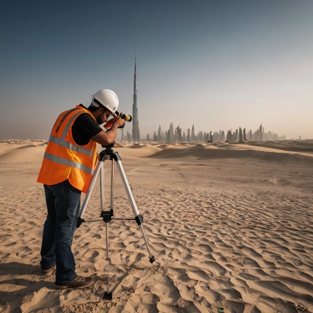
Dubai’s urban landmarks, from the Burj Khalifa to artificial islands like Palm Jumeirah, require exceptional surveying techniques to align engineering with ambition. Whether you’re building the world’s tallest tower or constructing highways, land surveying ensures every project meets Dubai’s strict quality standards.
Sharjah strikes a balance between modern infrastructure and preserving its cultural heritage. Surveyors play a dual role: enabling new developments while safeguarding historical sites through detailed landscape surveys and GIS mapping.
Ajman is the UAE’s smallest emirate but continues to expand its residential and industrial sectors. This growth depends on meticulous land measuring and boundary demarcations, particularly for its mixed-use zones.
With its proximity to the coast, Umm Al Quwain prioritizes hydrographic and coastal surveys to support marine industries and tourism. Surveyors work to enhance port infrastructure and eco-tourism sites.
Monitoring mangrove forests through advanced GIS tools.
Umm Al Quwain’s unique coastal geography requires state-of-the-art tools like GNSS systems and marine echo sounders to align tourism and conservation efforts.
The rugged mountain landscapes of Ras Al Khaimah present unique challenges for land surveying. Surveyors here balance eco-tourism projects with industrial growth.
Fujairah’s reliance on its ports and coastal economy highlights the importance of marine and land surveys. Surveyors are essential for:
To meet the UAE’s ambitious goals, cutting-edge surveying tools and technologies are deployed:
These tools not only improve accuracy but also save time and reduce costs, making them essential for every site surveyor in the UAE.
Rise Geo offers specialized surveying equipment and services tailored to UAE’s diverse landscapes. Whether you’re in search of a “land surveyor near me” or need professional assistance with land measuring, we deliver unparalleled solutions.
From the skyscrapers of Dubai to the heritage sites of Sharjah, land surveying is at the heart of the UAE’s progress. With professional surveyors and advanced tools, the nation continues to set benchmarks in infrastructure and sustainability.
Ready to start your surveying journey? Contact Rise Geo today for reliable equipment and services tailored to your specific needs!