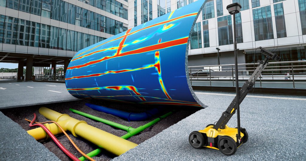
Underground Utilities Survey
Our underground utilities survey service can help you identify and mapping the location and type of private property and all subsurface utility infrastructure and repair routes, including gas, water, telecommunications, electrical, and underground utility drainage, in order to create a comprehensive map for your projects. By using a most recent innovative technology Mapping using data collected from an underground utility survey and a combination of cable and pipe locator and ground penetrating radar (GPR) technology, we are able of detecting the following underground utility types and utility materials and reduces project planning time and minimizes the time and risk of costly mistakes later in the design process
INQUIRE NOW
- Timely Service
- Detailed Mapping
- Expertise
What is Underground Utility Survey Mapping?
Underground utility surveying, also called subsurface utility engineering (SUE), is about finding and mapping what’s under the ground, like water pipes, gas lines, and cables. This helps prevent accidents and damage during construction work. By knowing where these utilities are, we can plan construction projects better, avoid accidents, and keep services running smoothly.

Utility Surveying Methods
Ground Penetrating Radar (GPR): This method uses special waves to find buried utilities by sensing changes in the ground.
Electromagnetic Locating (EML): EML devices locate metal utilities like pipes and cables by detecting their electromagnetic signals.
Utility Record Research: Gathering existing utility data, as-built drawings, and history helps identify and map underground utilities.
Sonar and CCTV Inspection: Sonar and closed-circuit television (CCTV) cameras are used to inspect inside underground pipes and check for blockages or damage.
- Vacuum Excavation: High-pressure air or water is used to safely dig around utilities without damaging them.
GPS and GIS Mapping:Global Positioning System (GPS) technology is used to accurately locate and map underground utilities, which can then be integrated into Geographic Information Systems (GIS) for better data management.
